Book Unmanned Vehicle Systems for Geomatics
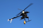
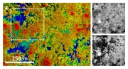
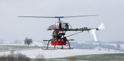
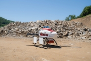
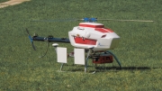
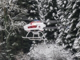
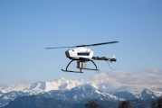
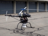
Aeroscout started to support geomatics by using its helicopter drones more than ten years ago. As a pioneer in this field, Aeroscout was one of the first (or probably the very first) companies which recorded LIDAR data from open mine pits (Germany, 2010) and several projects of photogrammetry data the years before. The gained knowledge have been written down in some of the chapters of this book "Unmanned Vehicle Systems For Geomatics"